
Interactive possibilities are intriguing and students with embryonic art skills can utilize these resources and appropriate software to draw and illustrate their own maps. The resulting products can project professional quality. What are other possibilities?
Maps and Globes
Filter By:
Google Earth
For an interactive, highly detailed, 3D look at the world, check out Google Earth. It's free to use, but requires that you use the Google Chrome browser. Google… learn more
U.S. History Map Interactive
Become a geography whiz as you learn how the United States was settled. Discover how the continent was irrevocably changed by European colonization, the events that caused the… learn more
TeacherVision: Map Library
Browse through a selection of printable maps of the U.S. states, U.S. regions, continents, and more. Plus, use our distance calculator to compute the distance between different parts… learn more
Mapped: The 25 Richest Countries in the World
Which are the richest countries in the world, by nominal GDP per capita? This map looks at the top 25 countries by this metric. They’re located across North… learn more
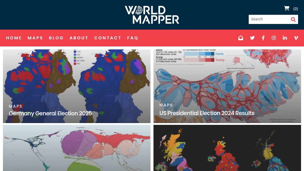
Worldmapper
Worldmapper is a collection of world maps called cartograms, where territories are resized on each map according to the subject of interest. Our range of maps is continuously… learn more
National Council for Geographic Education: Map Resources
The National Council for Geographic Education (NCGE) is dedicated to advancing the quality of geography teaching and learning for all. learn more
Infoplease: World Atlas & Map Library
nfoplease knows the value of having sources you can trust. Infoplease is a reference and learning site, combining the contents of an encyclopedia, a dictionary, an atlas and… learn more
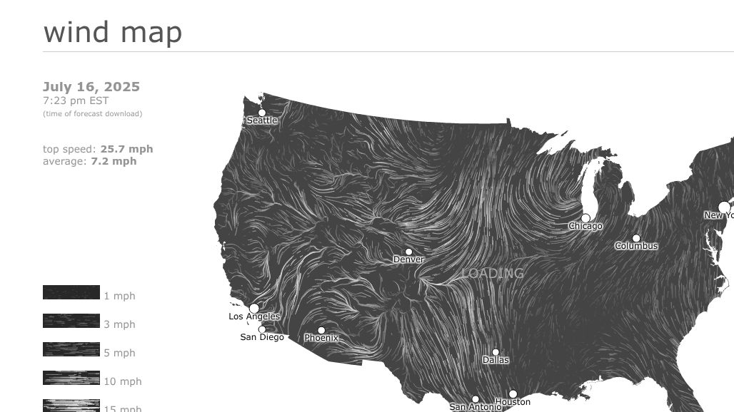
Wind Map
This real-time wind map started out as a personal art project. Click the map to zoom in on your region. This map displays in real-time the current wind… learn more

Old Maps Online
Browse historical places and search old maps online with timelines and libraries worldwide. learn more
Latitude and Longitude Finder
Latitude and Longitude are the units that represent the coordinates at geographic coordinate system. To make a search, use the name of a place, city, state, or address, or click… learn more

Bouncy Maps
At the moment China has the largest population in the world. But India will soon overtake China and rank as the largest population by far in 2100, counting… learn more

Topographic Maps
Topographic maps offer good content for "scaffolding" geographical features and land use. They are an alternative to traditional visuals. The new site is simple and easy to use,… learn more
Owl & Mouse Online Atlas Maps
Owl and Mouse Online Atlas has maps of the countries of every continent - Europe, Asia, Africa, Australia North and South America. Maps for study, for business, travel.… learn more
HistoryMaps
The Story of HistoryMaps. Once upon a time... or at least when I was growing up, I loved reading stories from picture books at the local library. Much… learn more
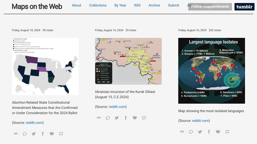
Maps on the Web
Maps on the web, maps from the web, charts and infographics. The sources of the maps are mainly readers submissions, news sites, Flickr map pools and groups, MapPorn… learn more
BACK TO SCHOOL: PRIMARY SOURCES, INTERACTIVE RESOURCES, AND MAPS FOR TEACHING HISTORY
Are you teaching history or social studies this year and looking for new tools and resources to incorporate into your lessons? As you prepare to go back to… learn more
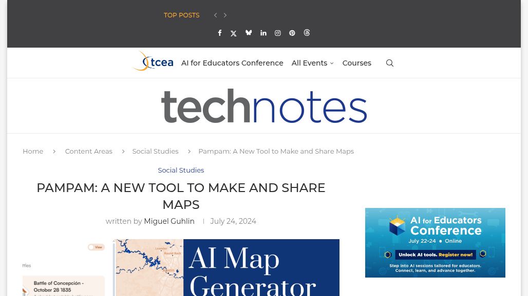
PAMPAM: A NEW TOOL TO MAKE AND SHARE MAPS
What Is PamPam’s AI Map Generator? PamPam is a platform for creating custom, interactive maps. You can sign in with your Google Workspace for Education account. Their AI… learn more
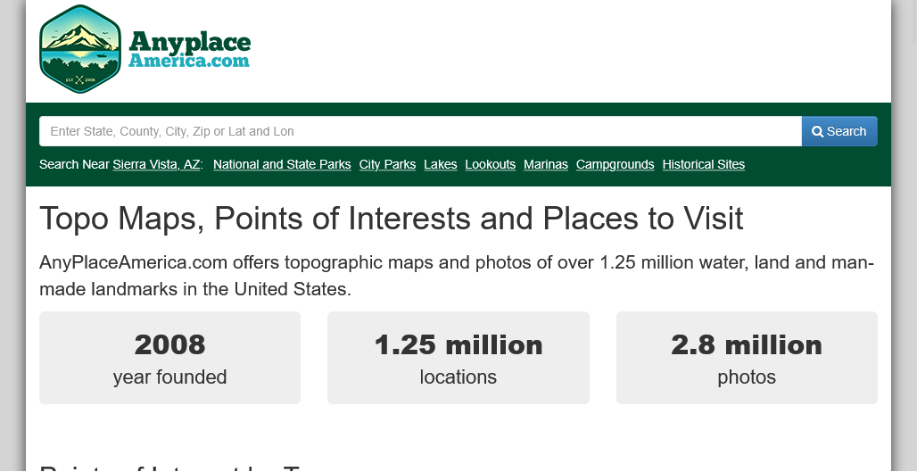
Any Place America
Topo Maps, Points of Interests and Places to Visit. AnyPlaceAmerica.com offers topographic maps and photos of over 1.25 million water, land and man-made landmarks in the United States. learn more
FactMaps
“A map is worth a thousand words.” This is Andras Borzsonyi, the owner of factsmaps.com. Welcome to my site, a comprehensive collection of thought-provoking and analytical maps, charts,… learn more
EPA: EnviroAtlas Interactive Map
This easy to use, interactive mapping application does not require any GIS skills to use and provides ready access to 500+ maps and multiple analysis tools. EnviroAtlas is… learn more
ZeeMaps: Online Map Creator
Create and publish interactive maps Use maps for analysis and presentations Unlimited markers per map. 3-level access control for each map: Viewer, Member and Admin Input from: Location(Search),… learn more
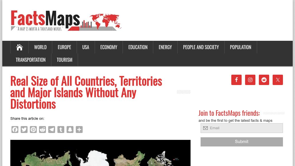
Real Size of All Countries, Territories and Major Islands Without Any Distortions
Countries on the poster are arranged by descending size, are shown without external or dependent territories and are distributed by continents according to the United Nations geoscheme. The infographics created at the studio shows… learn more
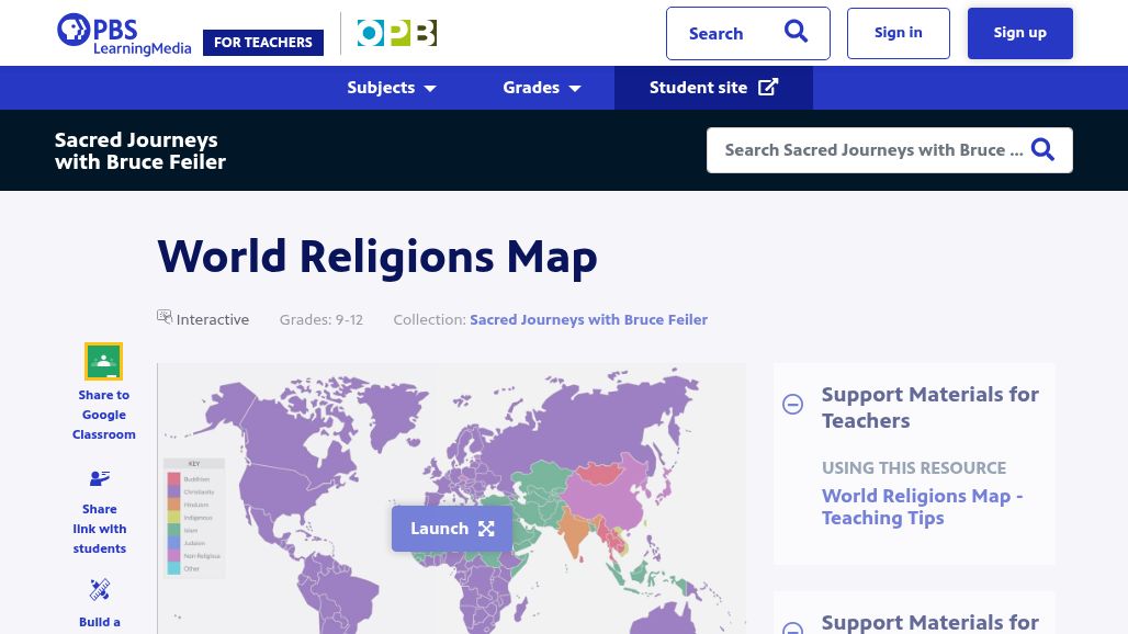
World Religions Map
Explore religious beliefs around the world through an interactive map that displays the religions that are the most prevalent in each country around the world. You may click… learn more
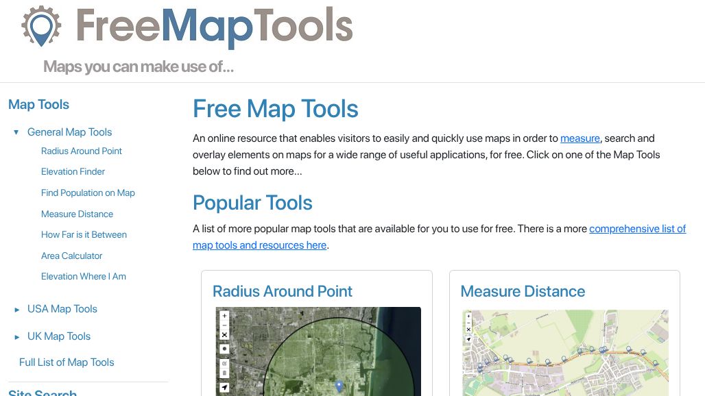
Free Map Tools
Free Map Tools. An online resource that enables visitors to easily and quickly use maps in order to measure, search and overlay mark-up elements on maps for a wide… learn more
Earth Sciences & Map Library
The Earth Sciences & Map Library at U.C. Berkeley is sufficiently comprehensive that is can be used as a test-bed for secondary students to learn research skills. This… learn more
MAKE HISTORY INTERACTIVE WITH HISTORYMAPS
TechNotes. Historians and K-12 students use historical maps for a similar purpose. Maps provide a window into the past. They enable us to see what people knew or… learn more
20+ clever Google Maps lesson ideas
Google’s interactive online map is a handy solution in many circumstances: from finding the best route from A to B, looking for restaurants and shops, to virtually walking… learn more
57 Google Earth & Maps Tutorials for Teachers and Students
In my playlist of 57 Google Earth and Maps tutorials you'll find directions for everything from the basics of navigation to creating historic map overlays to mapping datasets and… learn more
Digital Maps of the Ancient World
Mapping the Ancient World little by little… The Digital Maps section is useful for those studying Ancient History and Archaeology, who would like to gain a better understanding of certain… learn more
Flags of the World
Discover the flags of the world with Flagpedia, an actively updated website for more than 14 years. Flag images from this website are over 14 years widely used… learn more
Geography Map Games
Let’s make geography interesting. That’s why playGeography.com was created. There are so many countries, cities, flags, rivers, seas, and more than 7 billion of people. Does everyone know… learn more
Seterra Geography Games
More than 400 free map quiz games in more than 40 languages. Learn geography the easy way! Learning geography doesn't have to be boring. Do it the easy… learn more
World Atlas
The Original Online Geography Resource. WorldAtlas was launched all the way back in 1994 (back when there were only about 2700 websites on the internet) as the passion… learn more
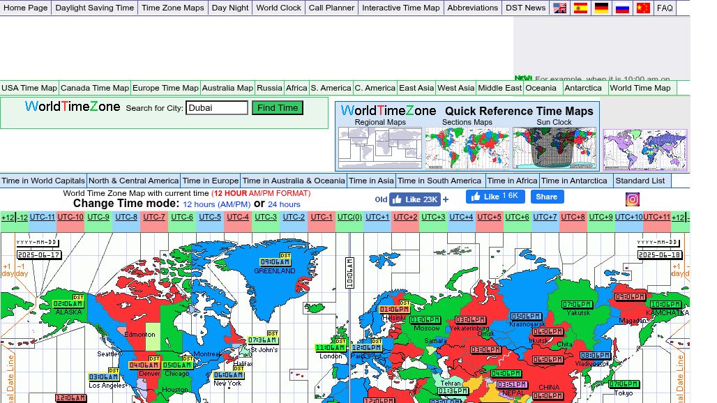
World Time Zones
WorldTimeZone.com (over 37,000 pages) continues to be a free online resource. WorldTimeZone.com continue to be a trusted global resource that constantly researches and presents up-to-the-minute local time layered… learn more
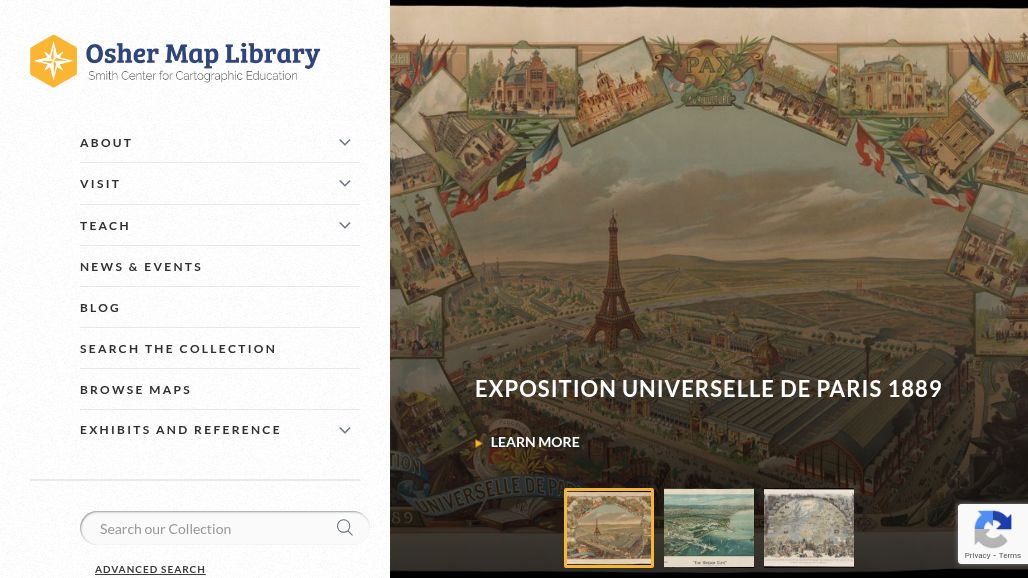
Osher Map Library
The Smith Center for Cartographic Education The Osher Map Library at the University of Southern Maine features exhibits series of maps over times such as World II, the… learn more
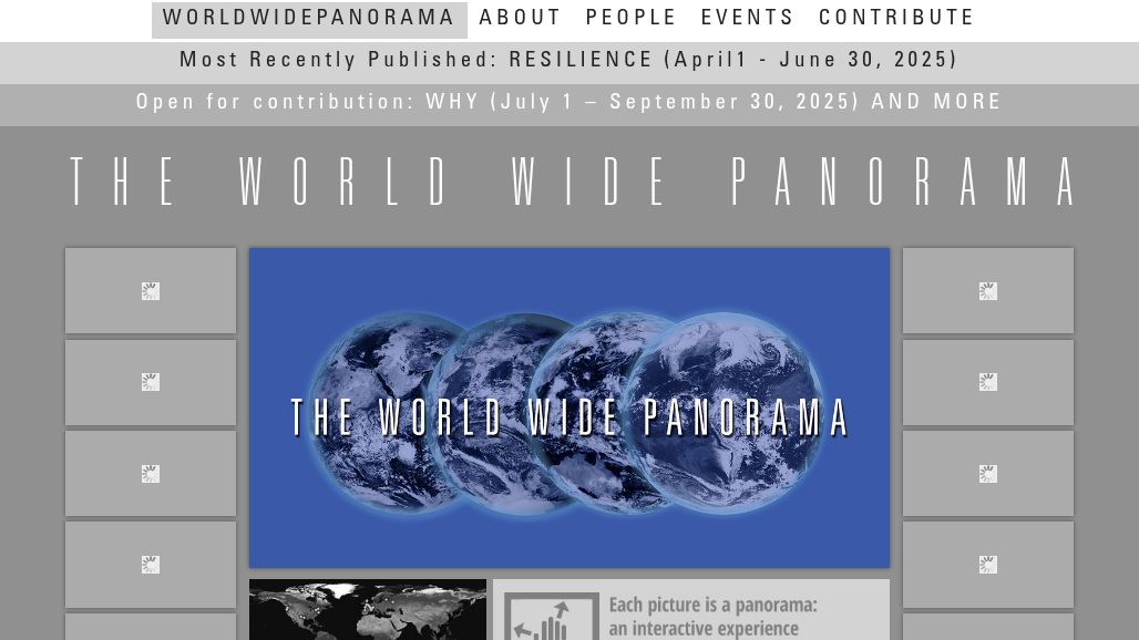
The World Wide Panorama
The WorldWidePanorama is a huge gallery of panoramic images that keep being built from the contributions of more than one thousand photographers all around the world – amateurs… learn more
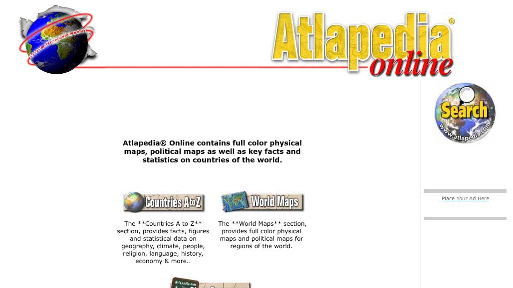
Atlapedia Online
Atlapedia® Online contains full-color physical maps, political maps as well as key facts and statistics on countries of the world. learn more
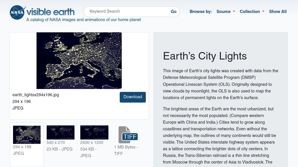
Earth's City Lights
These downloadable, high-resolution images of Earth's city lights were created with data from satellites originally designed to view clouds by moonlight. It turned out they could also map… learn more

National Park Service - Junior Ranger Programs
The Junior Ranger programs below are designed to encourage our young visitors to explore nature! Dive underwater, explore a cave, or look up at the night sky. There… learn more
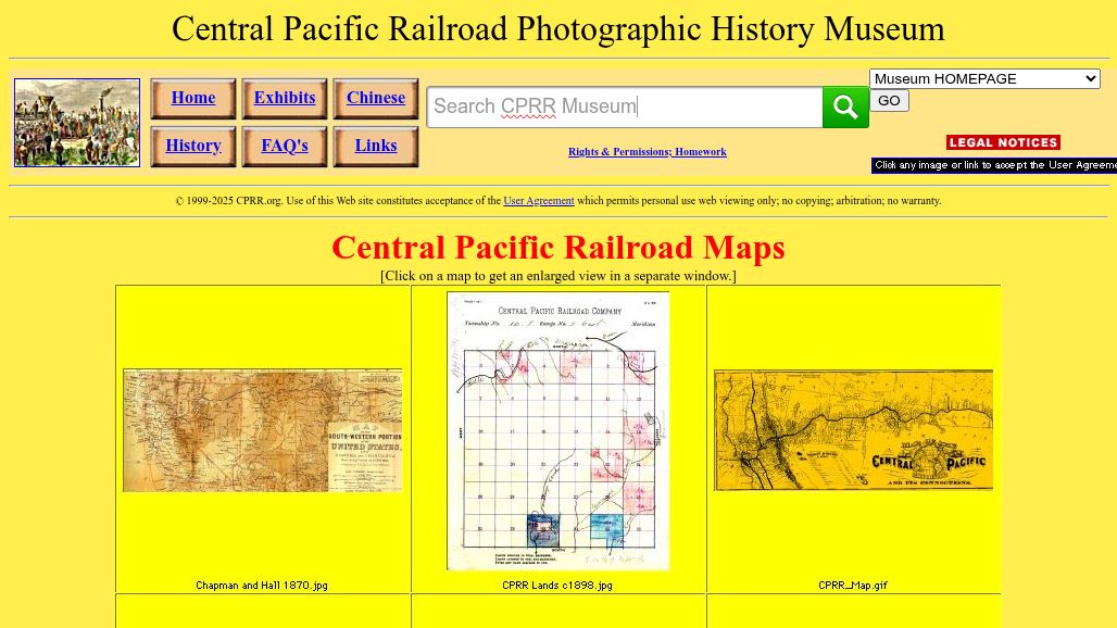
Central Pacific Railroad Maps
The Central Pacific Railroad Maps show the transcontinental phenomena of railroads, migration patterns, and transportation policies. learn more
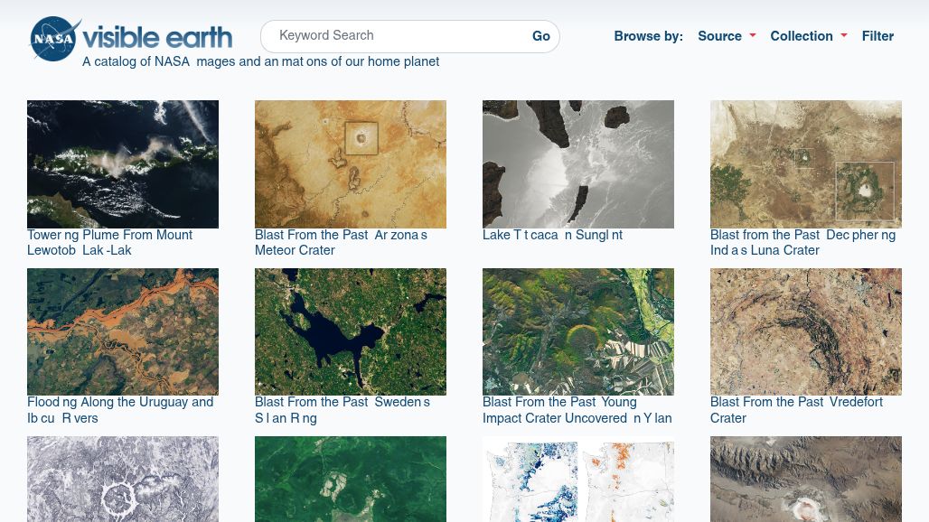
NASA's Visible Earth
For a different view of the Earth, take a look at NASA's Visible Earth site, showing everything from The Big Blue Marble to recent fires. learn more
No websites match your current filters
– no items filtered –