
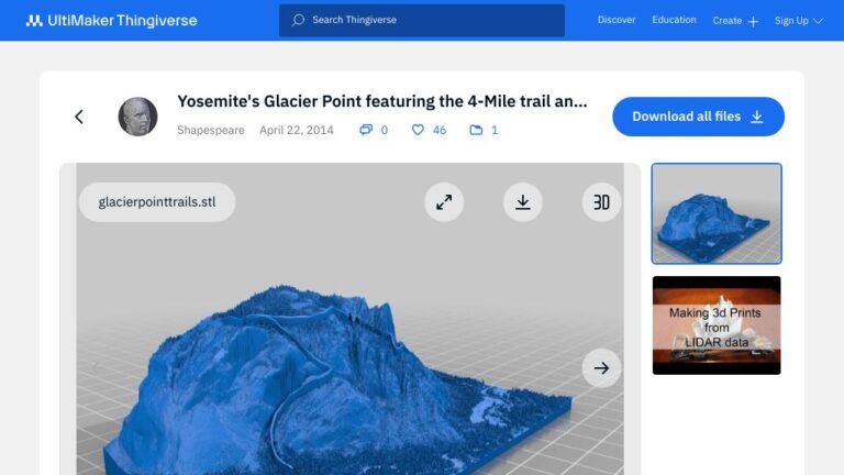
This is a 3D topo map of Yosemite’s Glacier Point showing two of the trails which connect Glacier Point to the valley floor, the 4-Mile trail and the Ledge trail. It was created by the author of the Making 3D prints from LIDAR Data video.
The 4-Mile trail is a steep and strenuous hike. The Ledge trail is an insane scramble over dangerous steep terrain, so dangerous that the trail was officially closed years ago following a number of fatalities. You can still climb it (people climb far sillier rocks in Yosemite) but don’t say you weren’t warned.
The model was made using Lidar data collected originally to study rockfall. The author suggests you keep that in mind if you are considering the Ledge route.