
Printing 3D Topography Maps
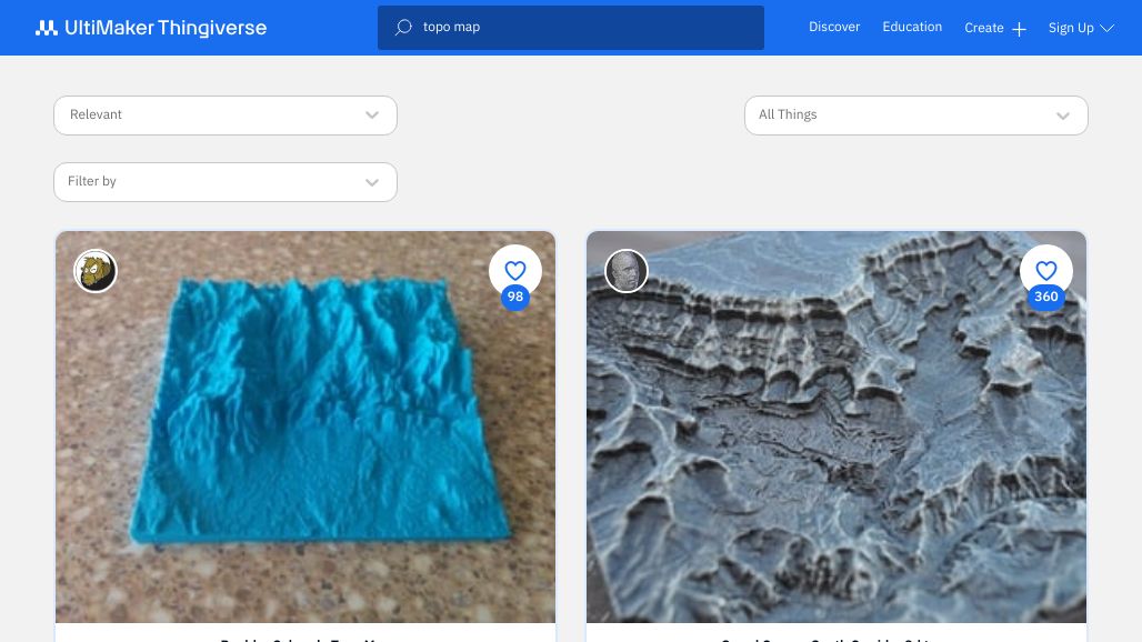
Topo Maps on Thingiverse
For many locations, maps have already been digitized and posted to Thingiverse. If you have a particular location in mind, try searching for it. learn more
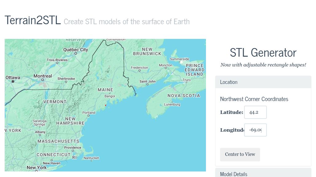
Terrain2STL
Terrain2STL allows you to easily create 3D STL models of the surface of Earth. Zoom into the area you want to model and click on the Center To… learn more
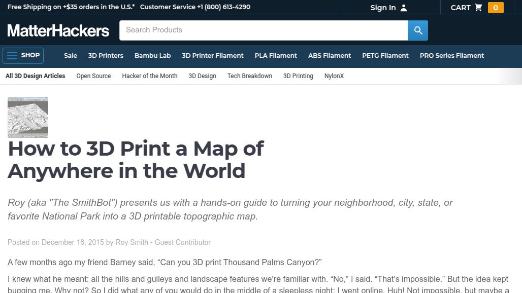
How to 3D Print a Map of Anywhere in the World
Want to create your own .STL files? In just 22 "simple" steps, you too can print a 3D topo map of anywhere. While it can take a while,… learn more
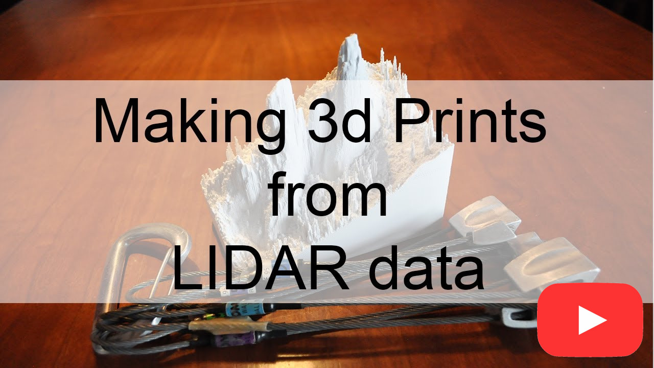
Making 3D prints from LIDAR Data
This video shows you how to make incredibly detailed 3d landscape models from publicly available LIDAR data. While not simple, the workflow uses free or very cheap software. learn more

Tangram Heightmapper
Creating a 3D print and need a grayscale height representation of anywhere on earth? Check out this resource. The resolution detail varies depending on where on earth you're… learn more
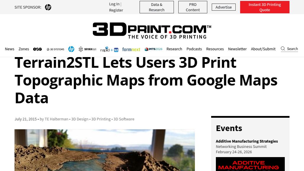
Terrain2STL Lets Users 3D Print Topographic Maps from Google Maps Data
This article from 3DPrint.com explores the different options for producing a 3D "STL" model from topographic map data and explains why Terrain2STL is so special. learn more