
In most countries outside the United States, geography is treated as a separate school subject–distinct from general social studies or history. The controversial issue of learning concepts and facts in geography does not emerge in many other countries–it is an educational “given”.
Geography, Maps & GPS
Filters:
Google Earth
For an interactive, highly detailed, 3D look at the world, check out Google Earth. It's free to use, but requires that you use the Google Chrome browser. Google… learn more
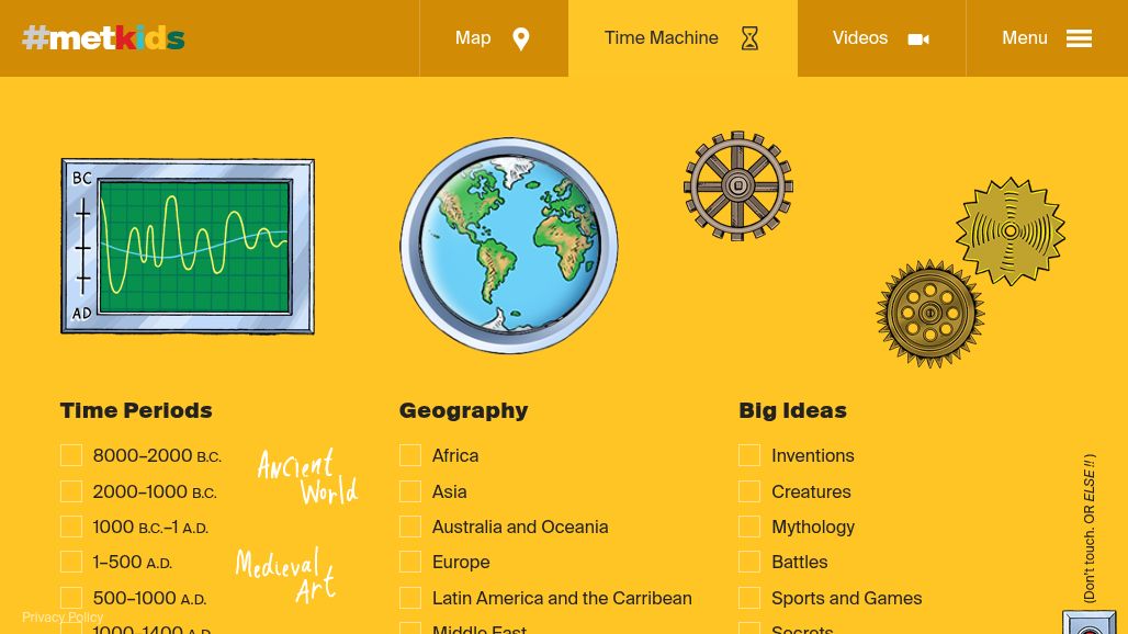
MetKids: Time Machine
Welcome to the home of #MetKids, made for, with, and by kids and The Met! #MetKids has been inspired, tested, and approved by real kids ages 7–12. Explore The… learn more
Creating with Google Earth: 10 activities to try
Google Earth's new creation tools let students demonstrate their learning on a map. Tell stories. Share information. Then share it with class! Google Earth calls itself "the world's… learn more

Geography Awareness Week 2024
Knowledge is power, and knowledge of spatial information can offer more than just know-how: It opens up extraordinary capabilities to solve complex problems in many areas, from urban… learn more
Cross-Curricular Lessons on Geography
Geography is more than a standalone subject – it’s the thread that ties together history, science, and even math. By incorporating geography into cross-curricular lessons, teachers can spark… learn more
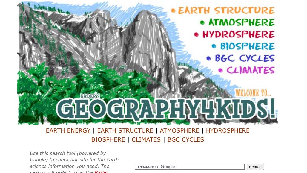
Radar's Geography4Kids
If you are looking for physical geography or earth science basics, stay on this site. This site has an introduction to the earth sciences that includes topics on… learn more
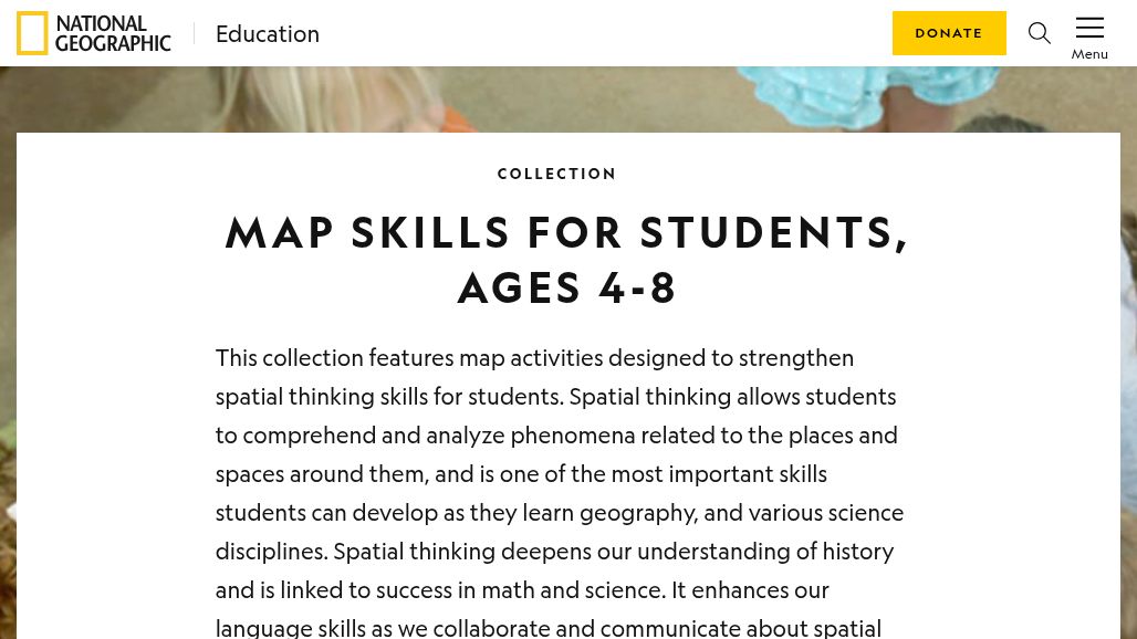
MAP SKILLS FOR STUDENTS
This collection features map activities designed to strengthen spatial thinking skills for students. Spatial thinking allows students to comprehend and analyze phenomena related to the places and spaces… learn more
Interactive Map Maker
National Geographic's Interactive Map Maker includes topo, satellite, terrain, and ocean maps. You can layer on data values and save the results. learn more
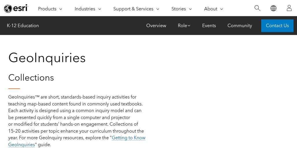
GeoInqiries Collections
GeoInquiries™ are short, standards-based inquiry activities for teaching map-based content found in different academic areas: American Literature, Earth Science, Environmental Science, Upper Elementary, Government, and Human Geography, etc. … learn more
Felt: Collaborative Mapping Tool
Empowering anew generation of map-makers. The best way to work with maps, together. Powerful tools everyone can use. Customize your maps with browser-based tools as simple or sophisticated… learn more
Google Earth Education
Google’s Geo Tools aren’t just about geography. You can use them to trace Marco Polo’s journey through Asia, to explore the architecture of Barcelona, to measure how Alaska’s… learn more
World Atlas: What is Geography?
A captivating subject, geography is a scientific field that is devoted to the study of the Earth’s landforms, oceans, environment and ecosystems, as well as the interactions between… learn more
What is Geography?
Geography is a social science that deals with the study of the earth, its features, and its inhabitants. It explores the relationship between humans and their physical and… learn more
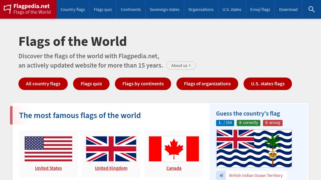
Flags of the World
Discover the flags of the world with Flagpedia, an actively updated website for more than 14 years. Flag images from this website are over 14 years widely used… learn more
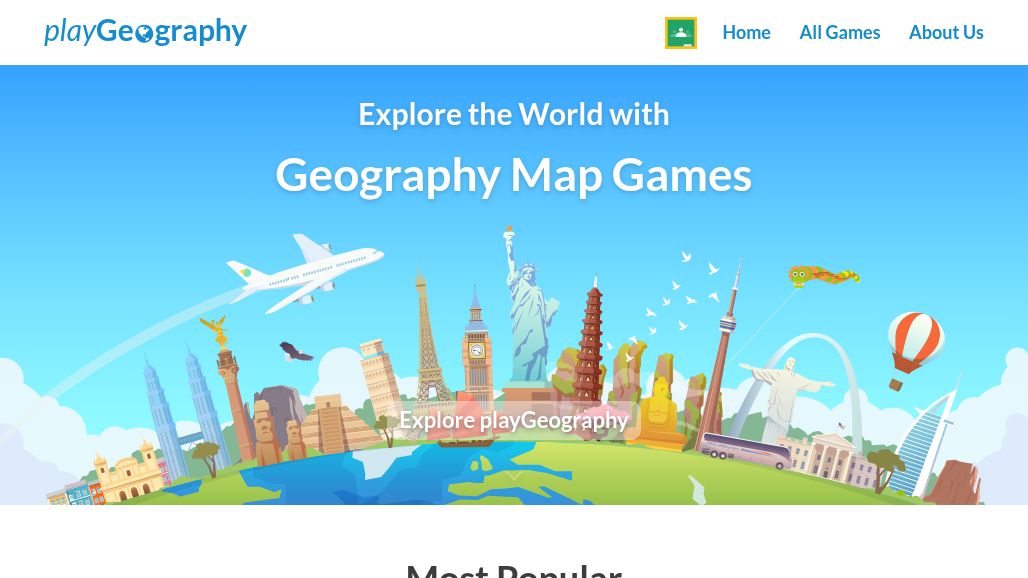
Geography Map Games
Let’s make geography interesting. That’s why playGeography.com was created. There are so many countries, cities, flags, rivers, seas, and more than 7 billion of people. Does everyone know… learn more
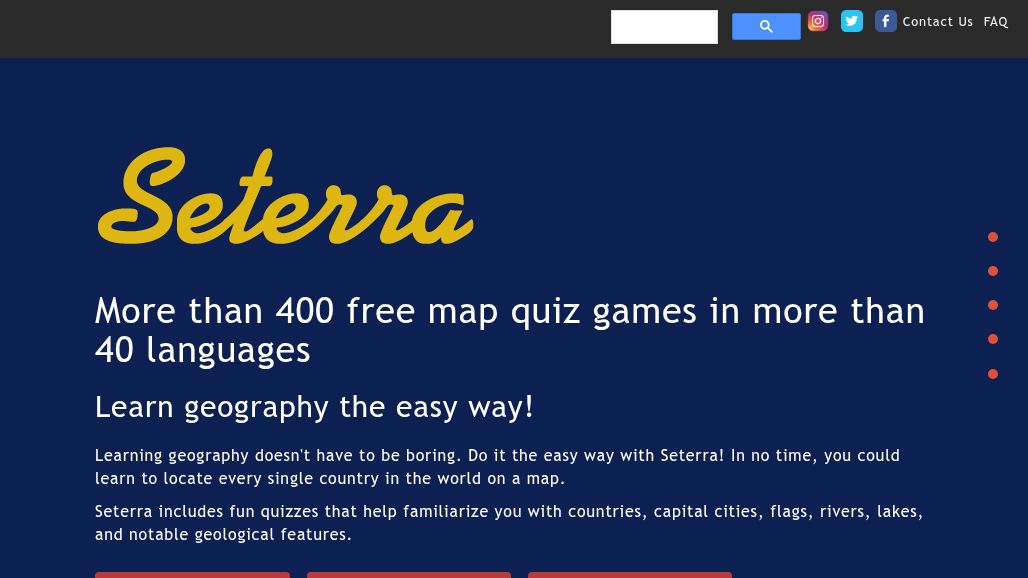
Seterra Geography Games
More than 400 free map quiz games in more than 40 languages. Learn geography the easy way! Learning geography doesn't have to be boring. Do it the easy… learn more
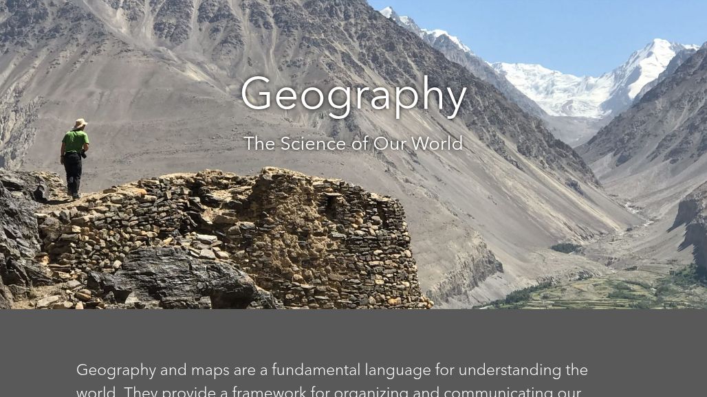
Geography - The Science of Our World
Geography and maps are a fundamental language for understanding the world. They provide a framework for organizing and communicating our knowledge. Increasingly geography is used in virtually every… learn more
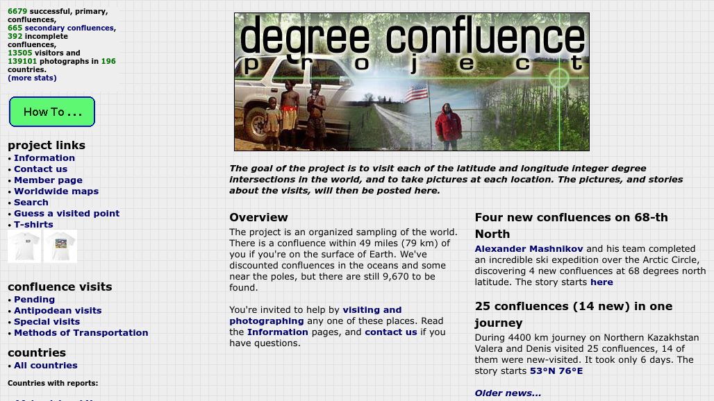
Confluence Project
The goal of Confluence is to visit each of the latitude and longitude integer degree intersections in the world, and to take pictures at each location. The pictures,… learn more
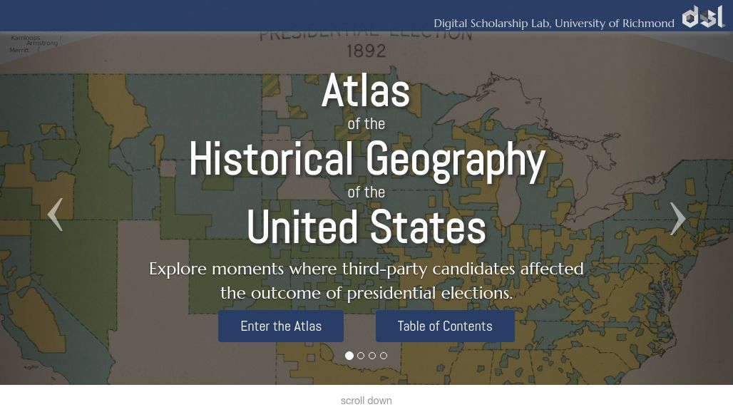
Atlas of the Historical Geography of the United States
This site has digitized one of the greatest historical atlases, Charles O. Paullin and John K. Wright's Atlas of the Historical Geography of the United States, first published… learn more
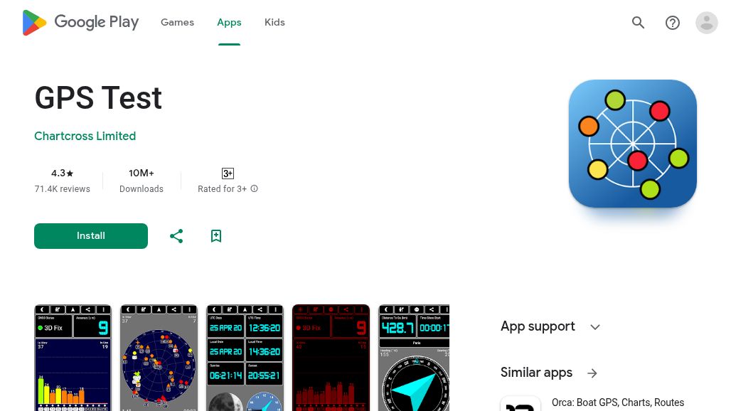
GPS Test Android App
With the advent of the smart phone, just about everyone now has access to a high quality GPS receiver. There are a wide variety of GPS apps available… learn more
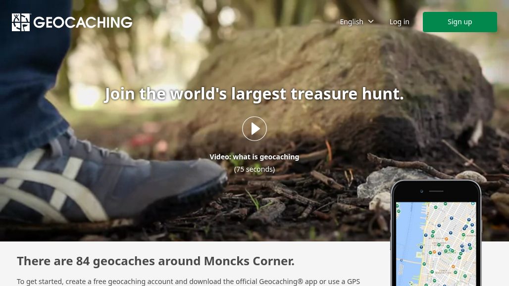
GeoCaching
This is the link to the GeoCaching site. You can do something similar in your own school or neighborhood by creating caches and providing directions. A great way… learn more

CIA World Factbook
The CIA World Factbook includes maps of each country in the world as well as high resolution regional and global reference maps. Then entry for each country includes… learn more
Geography Facts Quiz
When looking for interesting geography facts, World Geography For Kids found some really fun continent facts and interesting facts about the world's countries and people. See how many… learn more
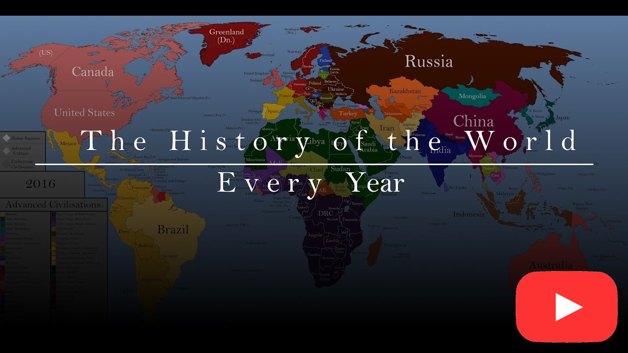
History of the World: Every Year
The entire history of the World from the rise of civilization to the present day. There are a number of takeaways from this compelling video... . While humans… learn more
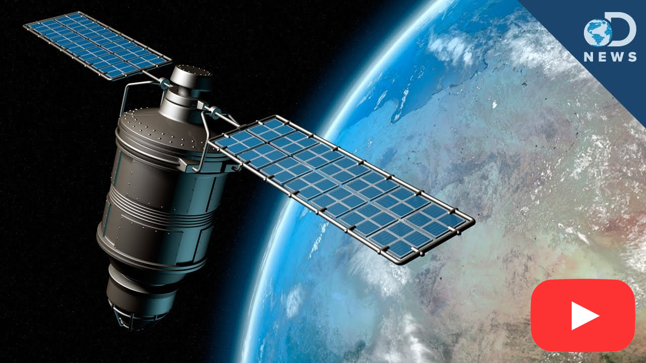
How GPS Works
This Discovery News segment from 2013 describes the GPS network, where it came from, how it works, and how it it being upgraded with a new generation of… learn more
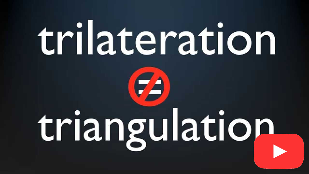
Trilateration - how to convert time into location
GPS uses trilateration, not triangulation, to figure out where you are. The actual math is complex, but this video shows how GPS uses three satellites to sort out… learn more
What is Geocaching?
Geocaching is an outdoor recreational activity, in which participants use a Global Positioning System (GPS) receiver or mobile device and other navigational techniques to hide and seek containers,… learn more