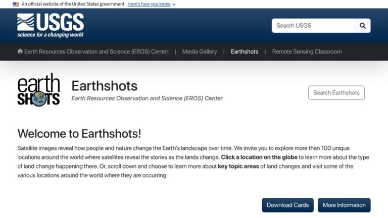
EarthShots, from the USGS, introduces remote sensing by showing how satellite imagery is used to track change over time.
The site provides outstanding images of sites around the world which have undergone significant environmental changes due to natural and human causes. A good site for students to illustrate contrasts in a research report.
Sometimes a photo is worth a thousand words – especially in a geographical region removed from the student’s locale.


