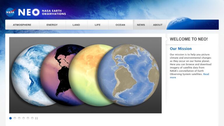
NASA Earth Observations (NEO), One of the best places to study Earth is from space. NASA satellites continually orbit the globe, collecting information about Earth’s ocean, atmosphere, and land surfaces. Satellites can even monitor the activity of life forms, such as phytoplankton, from their remote vantage points. Satellite imagery provides the greatest benefit to the most people when it can be analyzed by anyone with an interest. NEO strives to make global satellite imagery as accessible as possible.
The mission is to help you picture climate and environmental changes as they occur on our home planet. Here you can browse and download imagery of satellite data from NASA’s constellation of Earth Observing System satellites. Over 50 different global datasets are represented with daily, weekly, and monthly snapshots, and images are available in a variety of formats including JPEG, PNG, Google Earth, and GeoTIFF.


