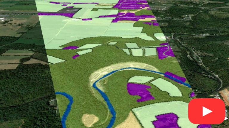
This video explores the basic principles used by optical sensors like Landsat, AVIRIS, and other remote sensing sensors to record the things that we can’t see with our eyes – like the health of plants on the ground. It explains the basic principles of the electromagnetic spectrum, bands and spectral resolution in data and the uses of spectral data to answer science questions.
Questions? Feedback?
Check out our FAQ or join the conversation at our Facebook group.
You can also find us on X.

