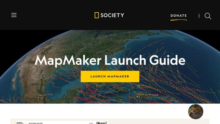
National Geographic’s Interactive Map Maker includes topo, satellite, terrain, and ocean maps. You can layer on data values and save the results.
Questions? Feedback?
Check out our FAQ or join the conversation at our Facebook group.
You can also find us on X.
Latest News & Info


